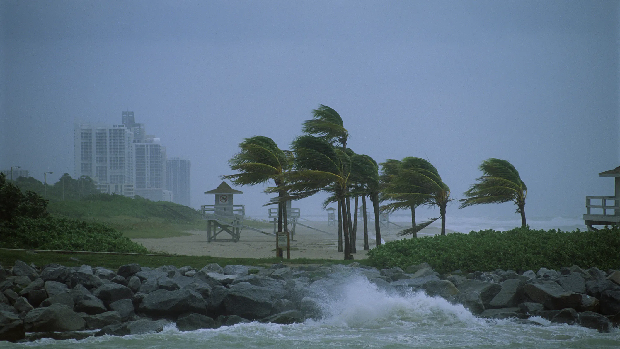
Two tropical storms, both expected to become hurricanes, are set to make landfall in the Gulf Coast early next week, one on Monday and one on Wednesday, in an unprecedented double-storm event.
Last week, weather experts predicted that the tropical storms, Marco and Laura, would hit in separate locations along the Gulf Coast, with Marco hitting closer to Texas and Louisana, and Laura hitting closer to Alabama and the Florida panhandle. Recent changes in both storms’ trajectories now seem to indicate both will make landfall at the mouth of the Mississippi River, near New Orleans.
Although both are now at sub-hurricane wind levels, both are expected to increase in intensity as they move across the unusually warm Gulf of Mexico.
“Tropical Storm Marco could intensify into a hurricane Sunday and make landfall on the Louisiana coast by Monday — while Tropical Storm Laura heads for the same path, according to the National Hurricane Center,” Fox News noted Sunday.
The National Hurricane Center has issued hurricane and “storm surge” warnings for Louisiana and Alabama, as well as “portions of the northern Gulf Coast,” per an official message Sunday morning. They are predicting a “prolonged period of hazardous weather.”
Here are the Key Messages for #Marco on Sunday morning: Hurricane and Storm Surge Warnings have been issued for portions of the northern Gulf Coast. See the full advisory at https://t.co/tW4KeGdBFb or your local weather at https://t.co/SiZo8ozBbn pic.twitter.com/n72IFu2xLX
— National Hurricane Center (@NHC_Atlantic) August 23, 2020
The double-storm event is a first for the Gulf Coast.
“If the two storms converge, it would be the first time two hurricanes have appeared in the Gulf of Mexico simultaneously, according to records dating to at least 1900, said Phil Klotzbach, a hurricane researcher at Colorado State University,” Fox reports.
Both storms have yet to fully develop, though, meaning that their trajectories and intensities could change dramatically from Sunday to Wednesday when Laura is expected to make landfall.
Marco will likely become a hurricane on Sunday, as winds near the center of the storm are now measuring around 80 miles per hour. Laura, which is hovering off the coast of Haiti, has winds hovering between 50 and 60 miles per hour, though they are expected to increase, according to the Orlando Sentinel, which has been tracking the storms.
“On the forecast track, the center of Laura will move across Hispaniola this morning, be near or over Cuba tonight and Monday, and over the southeastern Gulf of Mexico Monday night and Tuesday,” the Sentinel notes.
Laura is more of a danger to a larger swath of land given its path, which takes the storm across the Gulf Coast parallel to the Florida, Alabama, and Mississippi shorelines — a phenomenon which could cause inland tornadoes and strong storms in the several states. Marco, however, is making a beeline for New Orleans, just a day after the 15th anniversary of 2005’s Hurricane Katrina — a superstorm that left the city underwater and devastated.
Neither storm is currently projected to reach Katrina’s Category 5 status, however.

.png)
.png)

